Montgomery County Aerial Photos, 1937
This is the layout of a selected number of aerial photos of Montgomery County, taken on November 23, 1937, and held by the Newman Library. The note for each photo is a general description of what each photo covers.
| FG44-74 Blacksburg NW Campus |
|||||||||
| FG44-165 Prices Fork Pepper |
FG44-72 Blacksburg S Campus |
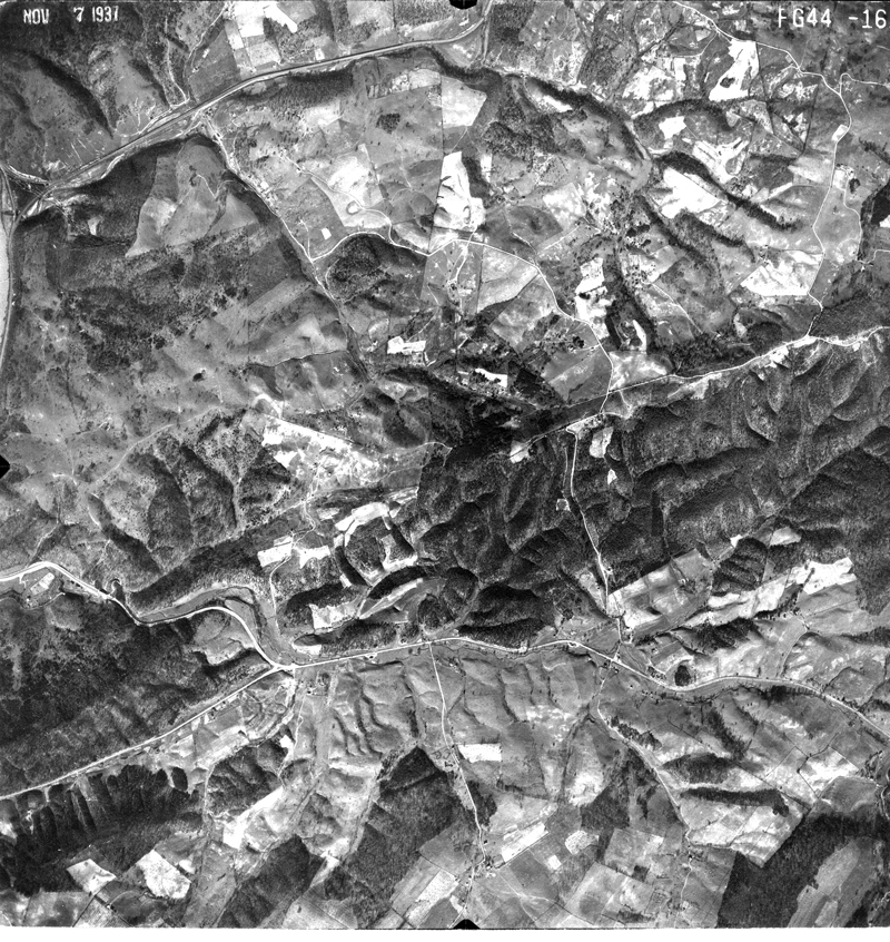
FG43-58 Blacksburg E Harding Ave. |
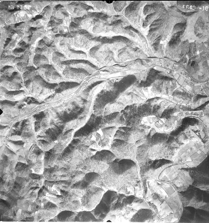
FG49-109 Ironto |
FG49-129 Ironto E Elliston |
FG49-181 Lafayette Elliston E |
||||
| FG44-173 Peppers Ferry N |
FG44-164 Prices Fork Pepper S |
FG44-84 Price Mtn. VGN Rwy. |
FG44-70 Merrimac |
FG43-59 Blacksburg S Huckleberry |
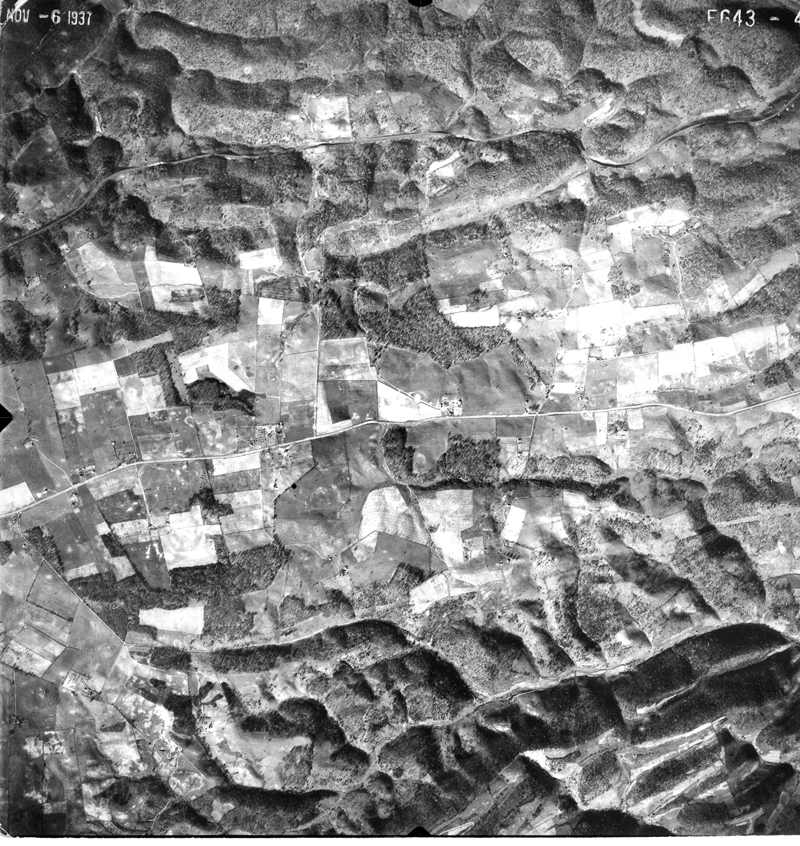
FG43-45 Ellett N |
FG49-108 Slate Hill Ironto |
FG49-130 Elliston |
||
| FG44-174 Peppers Ferry Walton |
FG44-163 Price Mtn. Vicker |
FG44-86 C'burg W |
FG44-69 C'burg N Merrimac |
FG43-44 Ellett |
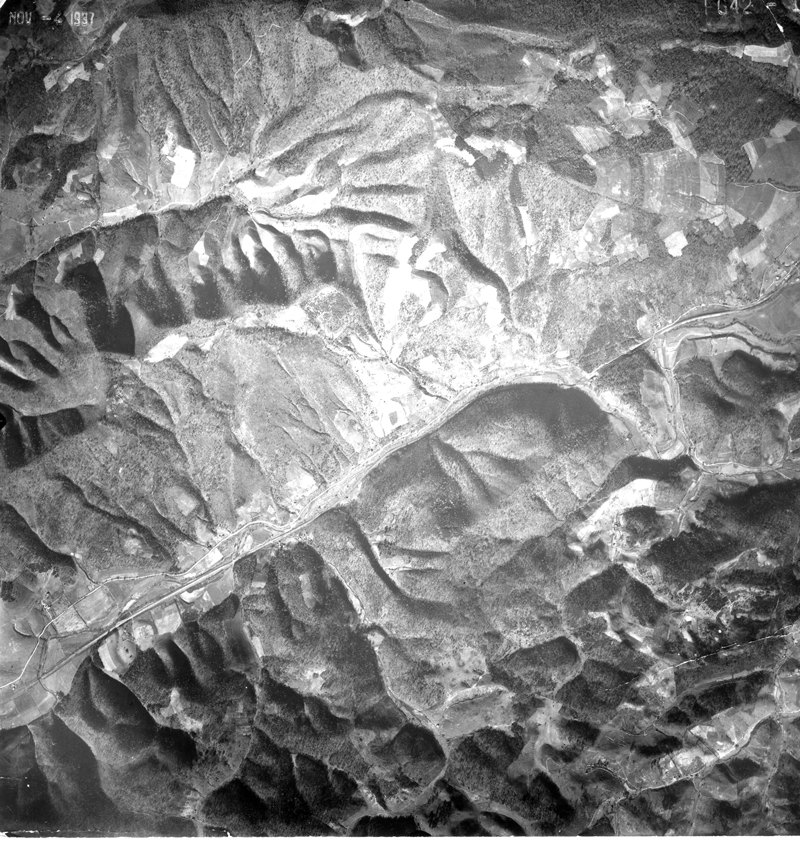
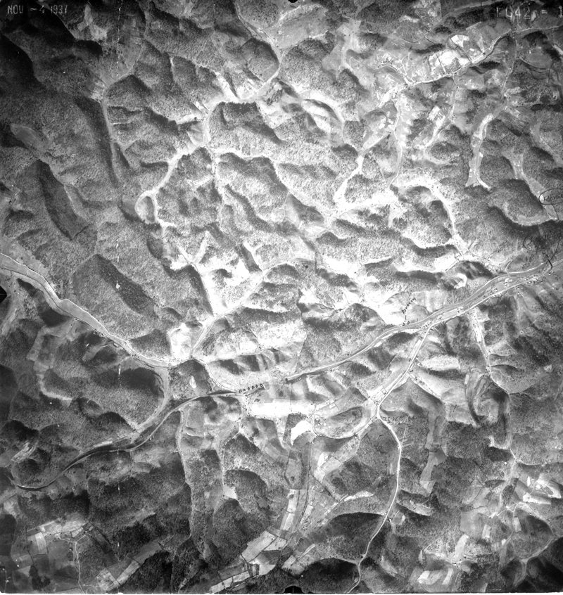
FG42-11 Fagg Slate Hill |
FG49-105 Shawsville Arthur |
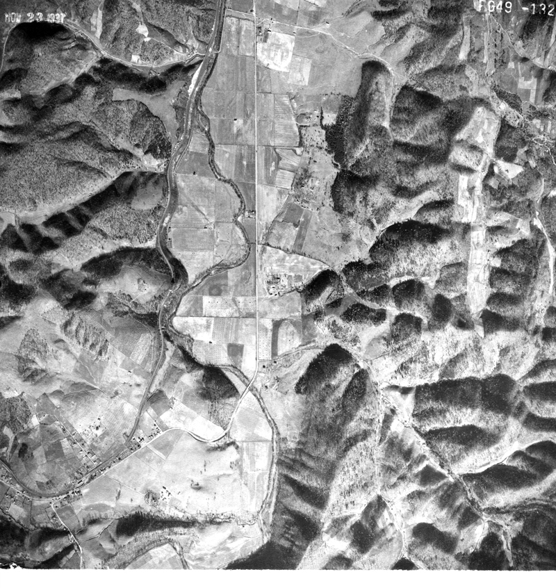
FG49-132 Elliston Straightaway Shawsville |
||
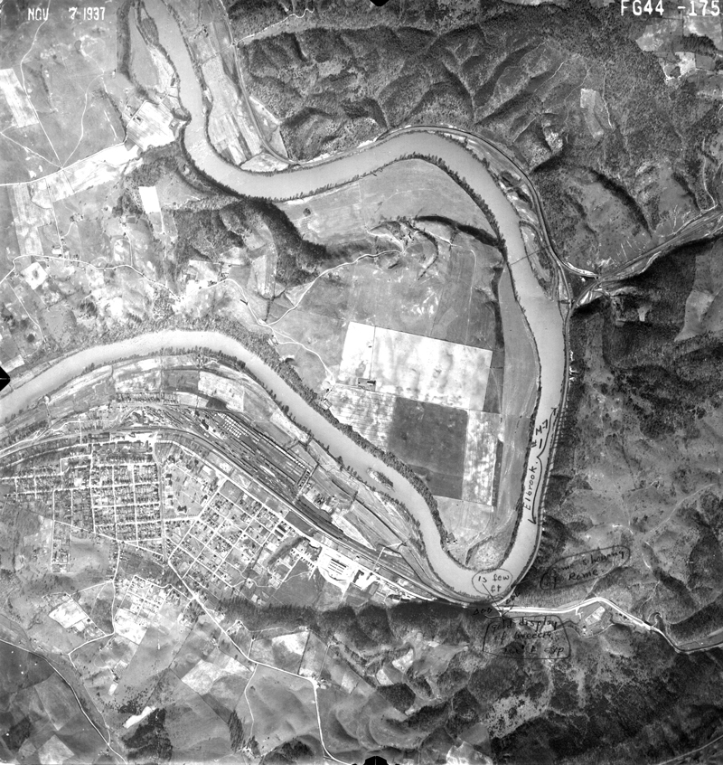
| FG44-175 Radford East End Walton |
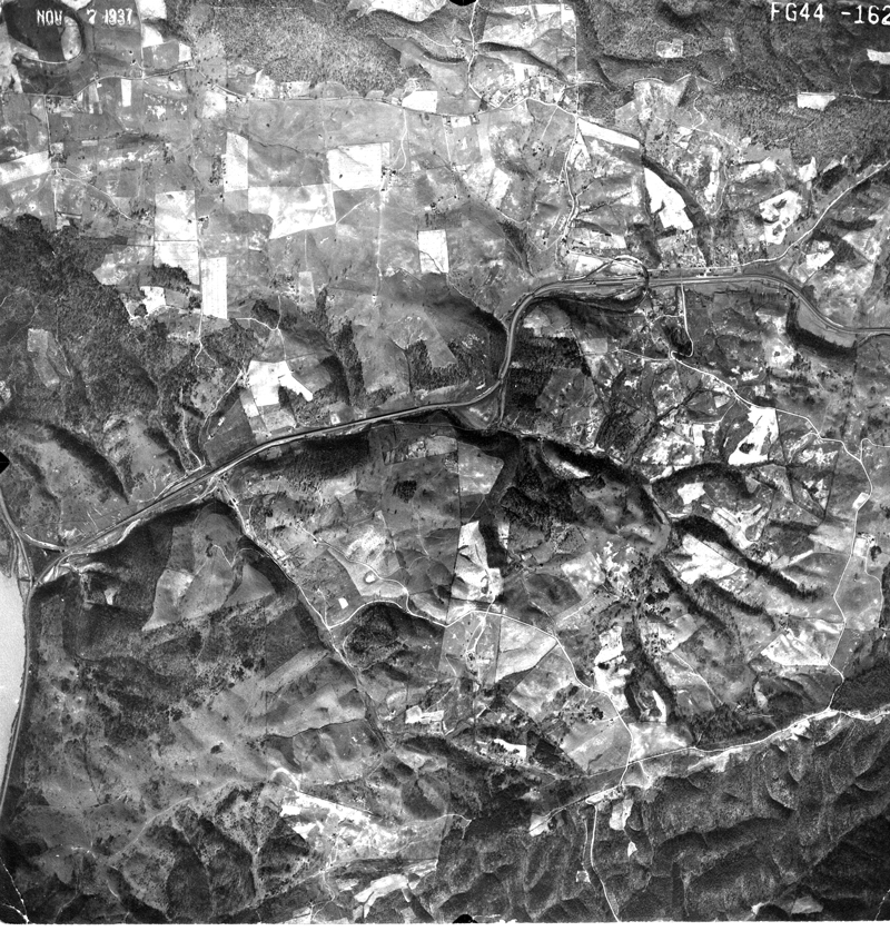
FG44-162 Vicker Walton |
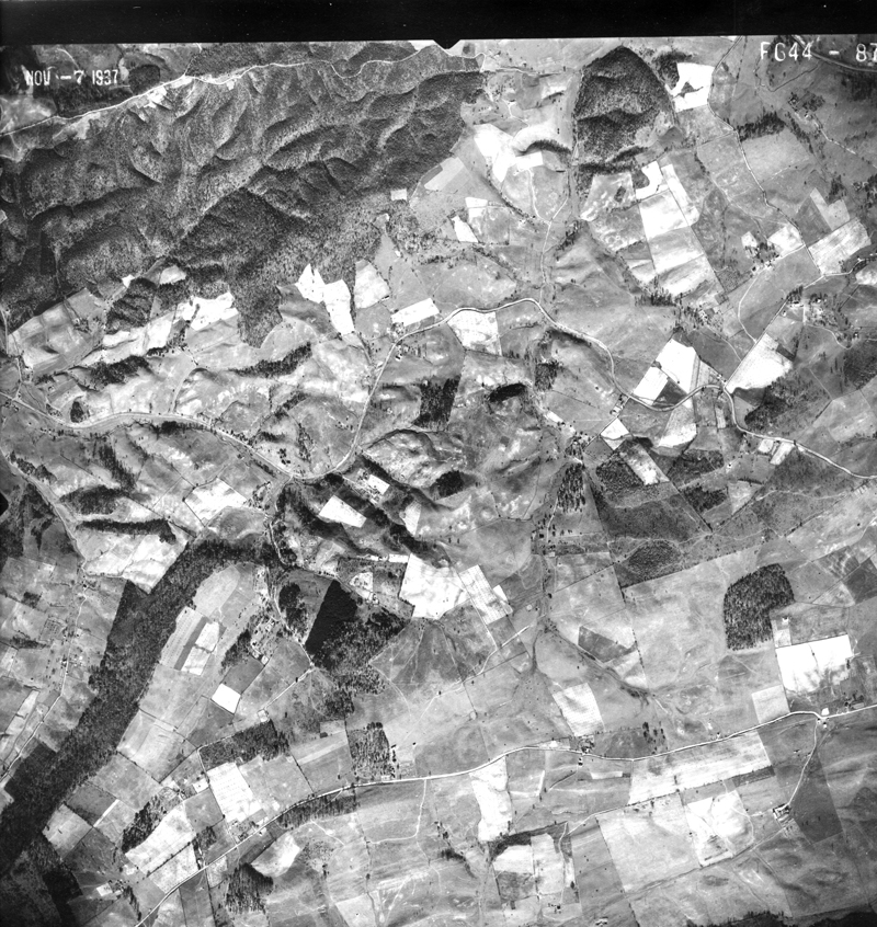
FG44-87 C'burg SW |
FG44-68 C'burg Downtown South & West |
FG43-63 Cambria Huckleberry |
FG43-43 Ellett Valley S |
FG42-12 Slate Hill Friendship Rd. |
FG49-133 Shawsville |
||
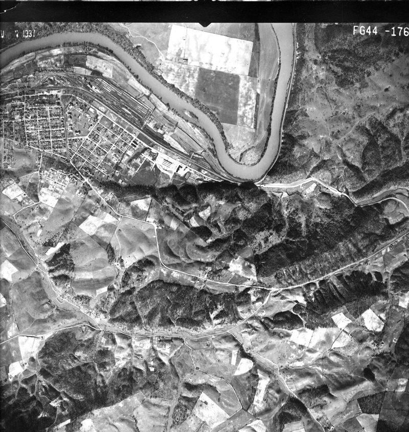
| FG44-176 Radford East End |
FG44-161 Walton Plum Creek |
FG44-67 C'burg S | FG43-64 C'burg S Cambria |
FG43-42 Ellett Valley Houchins |
FG42-13 Montgomery Tunnel |
FG49-103 Shawsville Arthur |
|||
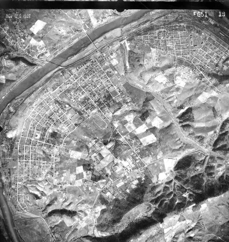
| FG51-19 Radford |
FG44-66 C'burg S Riner |
FG43-41 Houchins S |
|||||||
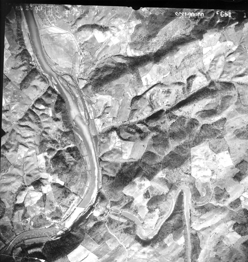
| FG51-17 Radford S Little River Claytor Dam |
FG44-65 C'burg S Riner Kingston Branch |