Maps, Etc.
Montgomery County Aerial Photos
A group of aerial photos of Montgomery County taken in 1937.
1933 VDH Map
This map is from 1933 and shows the roads and routes in Montgomery County. (click on the map for a larger image)
1940 VDH Map
This map is from 1940 and shows the roads and routes in Montgomery County. (click on the map for a larger image)
1949 VDH Map
This map is from 1949 and shows the roads and routes in Montgomery County. (click on the map for a larger image)
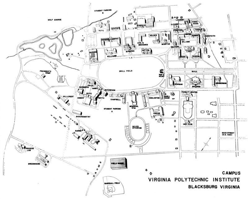
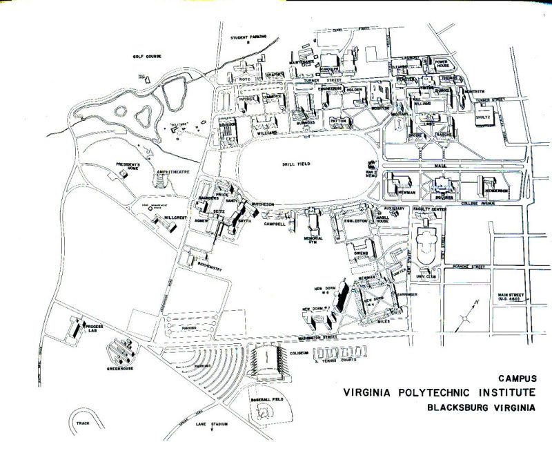
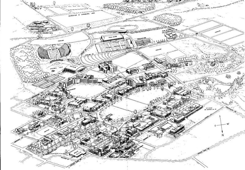
Virginia Tech Campus Maps
In the early days of the Virginia Agricultural & Mechanical College, there wasn't much need for a campus map, since there was only a handful of buildings. But as the size of the grounds grew and more buildings and facilities were added, there needed to be a way to show faculty, students, and visitors where to find various locations. The maps, included in college catalogs, varied from simple line drawings to more-elaborate line drawings to the panoramic view of 1937 to the panoramic view seen from the other direction that appeared through the mid-1970s and '80s. The current color-coded map debuted in the early 2000s. The latest iteration is the online interactive map.
The core of the campus, the Upper Quad, has remained relatively unchanged until just a few years ago, along with the Drill Field once it was firmly established. It is interesting to watch the evolution of the other parts of the campus, from the gradual disappearance of Faculty Row and other college-provided housing to the change to the south side of campus from an agricultural region to the residential center of the college.


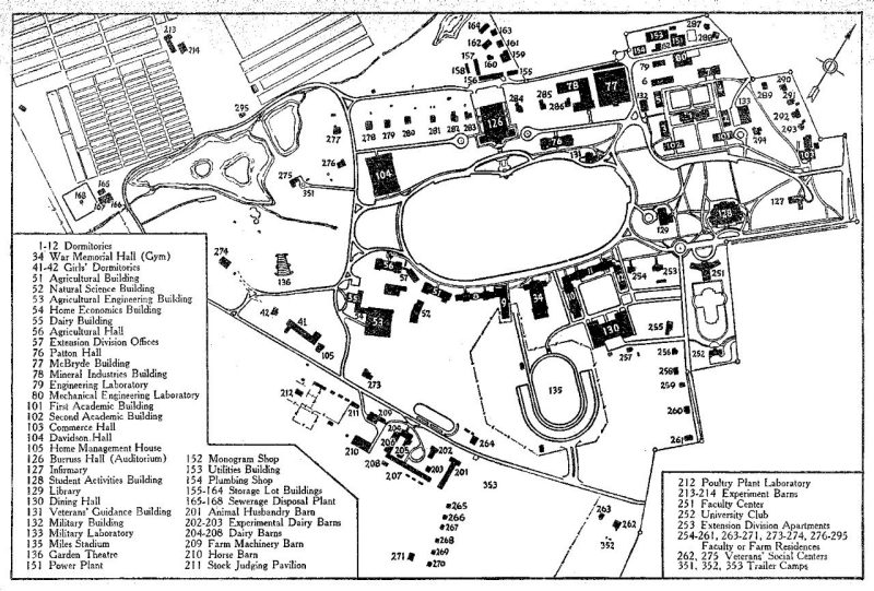


2016 campus map with 1948 map overlay

This overlay of the 1948 map on the 2016 campus map shows how much the campus has changed and how much has stayed the same. The buildings on the 1948 map by number are listed with the present equivalent building, location, or name.
Click on the image to view the map with a map key.